— February 8th, 2022

Magnetometers are devices that use various techniques to measure certain aspects of magnetism, including direction, strength, or relative changes. By combining these and applying some math, underground and other hidden structures can be discovered without the risk of damaging anything sitting below the sensor. This is why Markus Opitz decided to build a large-scale magnetometer using simple components in order to map things around his property.
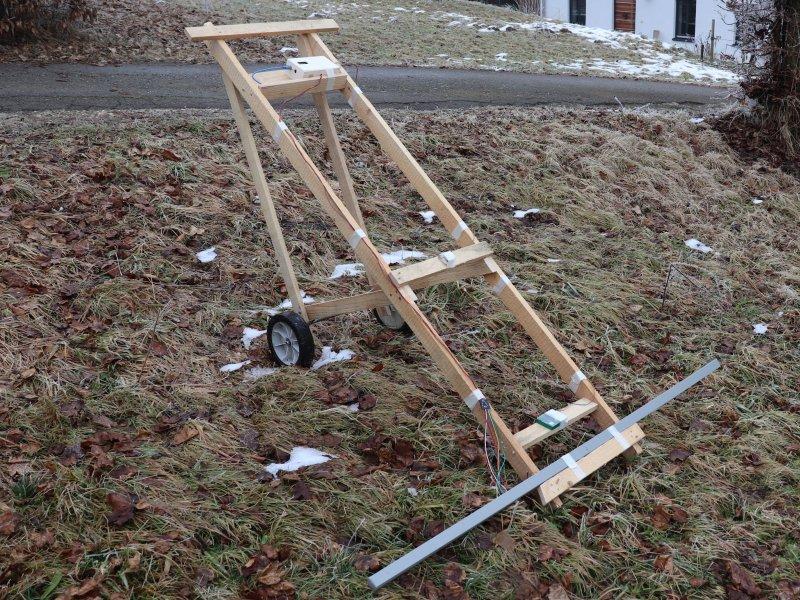
The basic structure of the device consists of a basic frame made from several wooden planks with a pair of wheels at its base and a wide piece of aluminum tubing to hold the sensor array. To gather raw data, Opitz started by integrating seven Hall effect sensors with a digital compass and an Arduino Mega.

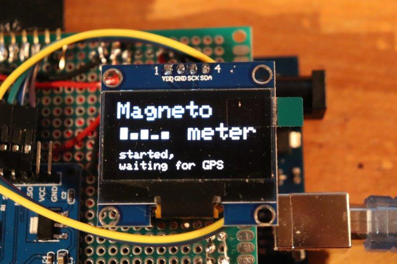
Coordinates are determined by the onboard GPS module and logged to an SD card along with the readings from the attached sensors. Finally, the current heading is defined via a digital compass and displayed in addition to other data on a 128x64px OLED screen.
After wheeling the unit around an outdoor area for a while and gathering ample amounts of data, Opitz loaded the logs into qGIS that combines headings, magnetic values, and coordinates along with a satellite map into a single image.

To read more about this project, you can view Opitz’s write-up on Instructables.
Website: LINK

